
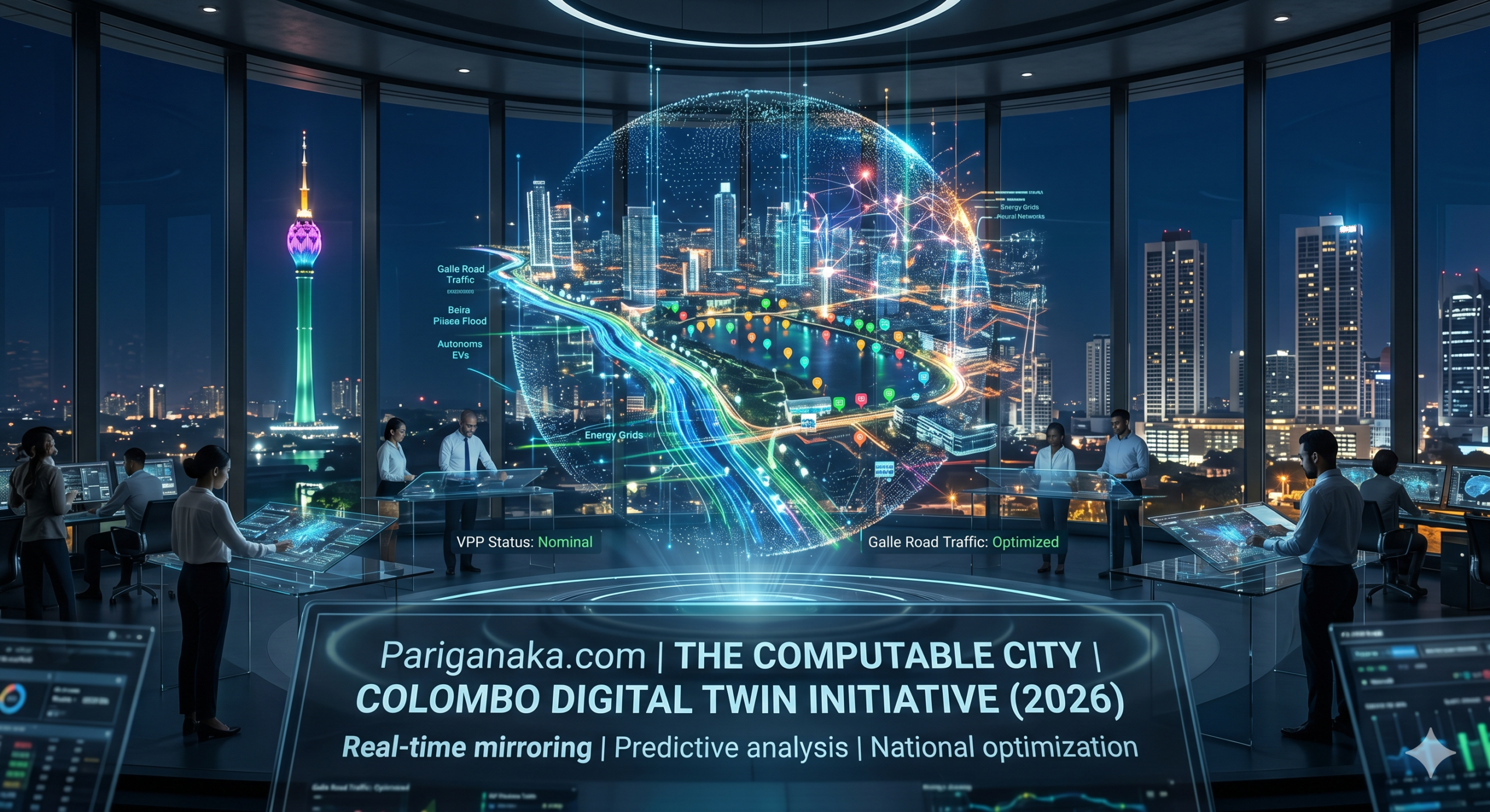
For decades, urban planning was a game of guesswork. We built roads, bridges, and drainage systems, and simply hoped they would withstand the pressures of population growth and extreme weather. If traffic became unbearable, we built a new lane. If a neighborhood flooded, we updated the maps after the damage was done.
In 2026, that reactive approach is completely obsolete. The concept of the “Digital Twin”—originally used by aerospace engineers to simulate jet engines—has successfully scaled up to encompass entire metropolitan areas. We no longer just live in physical cities; we live inside living, breathing data models.
For the readers of Pariganaka.com, here is an inside look at how urban computing evolved, and how the capital of Sri Lanka was transformed into a perfectly mirrored, computable simulation.
1. The 1:1 Virtual Metropolis
A Digital Twin is not just a 3D map on a screen; it is a real-time, mathematically accurate simulation of a physical environment, continuously updated by millions of sensors.
- The Ultimate IoT Convergence: Everything in the modern city is now connected. Smart traffic lights, public transit vehicles, weather sensors, smart energy meters, and even the structural load sensors on bridges feed petabytes of data into a central AI model every second.
- Simulating Reality: If an accident occurs at a major intersection, the Digital Twin immediately registers the anomaly. It instantly simulates ten thousand different traffic rerouting scenarios, predicts the downstream impact on surrounding neighborhoods, and autonomously adjusts traffic lights across a five-kilometer radius to prevent gridlock—all before the first police car arrives on the scene.
2. Predictive Governance
The true power of a city-scale Digital Twin lies not in seeing what is happening right now, but in perfectly predicting what will happen tomorrow.
- Disaster Pre-Cognition: Climate change has made extreme weather unpredictable, but the Digital Twin changes the equation. By simulating an impending monsoon, the city’s AI can predict exactly which streets will flood, down to the centimeter, 48 hours before the rain starts. It autonomously preempts the disaster by rerouting power grids to prevent electrocutions and deploying emergency services to high-risk zones.
- Virtual Urban Planning: Before a real estate developer can break ground on a new high-rise, they must upload their architectural blueprint to the city’s Digital Twin. The AI simulates how the new building will alter wind patterns, cast shadows on solar panels, and affect local traffic flow over the next fifty years. If the simulation fails, the building permit is automatically denied.
3. The Sri Lankan Context: The “Colombo Matrix”
Sri Lanka’s Western Province has historically been plagued by ad-hoc development, severe traffic congestion, and annual monsoonal flooding. In 2026, the implementation of the “Colombo Digital Twin” is rewriting the rules of urban life.
- The End of the Galle Road Gridlock: The days of static, timed traffic lights are gone. The Colombo Digital Twin tracks the movement of every registered autonomous EV and public bus in real-time. It dynamically creates “green-light waves” during rush hour, adjusting lane directions and speed limits dynamically via augmented reality overlays on windshields, effectively eliminating the infamous Galle Road bottlenecks.
- Smart Drainage Networks: Utilizing thousands of micro-sensors placed in the underground drainage networks of flood-prone areas like Rajagiriya and Kelaniya, the city’s AI actively manages water flow. It autonomously opens and closes smart-sluice gates to distribute floodwaters evenly into the Beira Lake and surrounding wetlands, saving billions of rupees in property damage annually.
Pariganaka.com’s Take: The transformation of Colombo into a Computable City is an engineering marvel, but it forces a profound societal trade-off. To make a city perfectly efficient, it must be perfectly monitored. The Digital Twin requires an omnipresent network of sensors, blurring the line between public infrastructure and mass surveillance. As we enjoy the benefits of zero traffic and predictive disaster management in 2026, we must continuously ask ourselves: who owns the data that makes the city breathe, and who holds the keys to the simulation?
Leave a Reply